Thanisandra to Kempegowda Airport: Routes, Travel Time and Best Roads

About 22 km and roughly half an hour off-peak: here is how to get from Thanisandra to the airport, which roads to use and what the metro will change...
For frequent flyers, the Thanisandra to Kempegowda Airport travel time can decide where to live. From Thirumenahalli, the airport is roughly 22 km away, or about half an hour off-peak. Here are the routes, the variables and what will change once the airport metro opens.
Airport distance from Thanisandra Main Road
The airport distance from Thanisandra Main Road is roughly 22 km measured from Thirumenahalli, on the northern stretch of the corridor. That places the area closer to the airport than central or southern Bangalore, which is one reason it appeals to frequent travellers and to people working at airport-side employers such as the KIADB Aerospace Park area, about 16 km away.
Route 1: NH-44 via Kogilu Cross
Kogilu Main Road connects to NH-44 (Bellary Road) at Kogilu Cross. From there, NH-44 runs north to the airport. It is the most direct highway option and works well off-peak.
Route 2: the Hennur Bagalur Road airport route
The Hennur Bagalur Road airport route, also called the Alternative Airport Road, runs about 4 km east of Thirumenahalli. Many residents use it to avoid NH-44 traffic, especially when heading to the airport from the Hennur side.
Peak hours and planning
Thanisandra to Kempegowda Airport travel time rises at peak hours, largely because of congestion on Thanisandra Main Road before you reach the highway. Build in extra time for morning and evening flights, and check live traffic before you leave.
What the metro will change
The Blue Line airport corridor adds a rail option. Yelahanka station, about 4.6 km from Thirumenahalli, is targeted for around June 2027, subject to change. Once open, it offers a predictable alternative to the road for airport trips. Our Blue Line guide covers the details, and our post on airport expansion and real estate looks at the wider effect.
Tips for frequent flyers
Keep two routes saved and choose on the day using live traffic. For early-morning flights, the roads are usually clear and the drive sits close to the half-hour mark. Evening departures need extra time for Thanisandra Main Road before joining NH-44 or the Hennur–Bagalur Road. Once the Blue Line opens, the Yelahanka station offers a predictable option when roads are at their worst.
Club Class and airport access
At Codename Club Class, the airport is roughly 22 km away, the Hennur–Bagalur Road about 4 km, and the Blue Line station about 4.6 km. See every distance on our location page, compare the Manyata commute, or book a site visit.
Related reading: Commute Guide and Kempegowda Airport Expansion and Its Impact on Real Estate.
FAQs
How far is the airport from Thanisandra?
Roughly 22 km from Thirumenahalli.How long does the drive take?
About half an hour off-peak; longer at peak hours.Which roads lead to the airport?
NH-44 via Kogilu Cross, or the Hennur–Bagalur Road (Alternative Airport Road).Will there be a metro to the airport?
Yes. The Blue Line airport corridor has a station at Yelahanka, about 4.6 km away, targeted for around June 2027.
Related Articles

KIADB Aerospace Park and ITIR: What They Mean for North Bangalore Housing
Aerospace manufacturing and an IT investment region near the airport are adding jobs on Bangalore's northern edge. Here is what that means for housing...

How Bangalore's Startup and GCC Boom Drives Housing Demand
Start-ups and global capability centres keep adding well-paid jobs in Bangalore. Here is how that translates into demand for homes...

Why Is North Bangalore Growing So Fast? The Key Growth Drivers
Offices, the airport, new metro lines and a shift upmarket: here are the forces behind North Bangalore's rapid growth and what they mean for buyers...
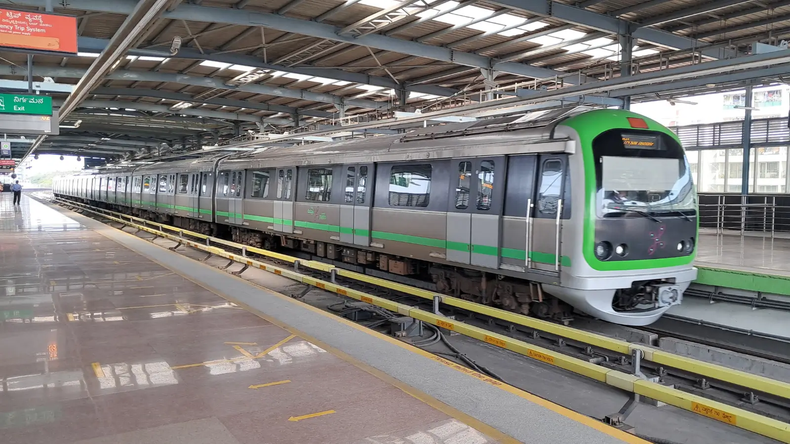
Namma Metro Phase 2 Timeline: Which Lines Open When
Two new lines matter most to North Bangalore: the Pink Line to Nagawara and the Blue Line to the airport. Here is where each stands...